This is an old revision of the document!
How to add elevation data to a track
Feature for adding elevation data into tracks is available only in GPX Viewer PRO. So this how to won't work in free version of GPX Viewer. Elevation data are downloaded from internet, so in order for this process to complete you need to have internet connection in your device.
Below are steps describing how to add elevation data to a track in GPX Viewer PRO:
- Open left main menu.
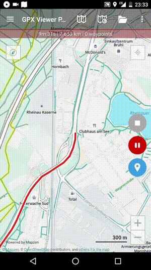
- Tap on Track/route info button.
- In Track/route info screen tap on … button and from menu select Add elevation data.
- If track already contains elevation data, GPX Viewer PRO will show you dialog if you want to overwrite this elevation data with new elevation data from internet. If you want this, then tap on button Yes in the dialog.
- After a while (adding elevation data can take up to 1 minute, but it depends of how many track points track contains and where it is located) elevation data will be added and GPX Viewer PRO will show you a dialog if you want overwrite elevation data in file which contains this track.
- We strongly recommend you creating a copy of a file which contains this track if something went wrong in the process or if you won't be satisfied with elevation data precision. If you have done so, you can tap on button Yes in this dialog.
Below is video showing following instructions above: