This is an old revision of the document!
Track information
Information about tracks/routes can be displayed by opening Left main menu → Track/route info. Here users can find tracks or routes categorised by their source:
- Opened - from open gpx files stored in your device.
- Trackbook - created in trackbook.
- Recorded - recorded tracks on the device.
After tapping on any of them users can see the statistics and graphs analysing the track. Information displayed in statistics:
- Flat/Climb/Descent length - divides the total length of the track between the distance travelled on flat, inclining and declining surface. Displayed only if elevation data are accessible.
- Length of the track/route. Available for every track.
- Elevation difference - the difference in elevation between start and end point. Available if elevation data are recorded or downloaded.
- Total climb - available if elevation data are recorded or downloaded.
- Total descent - available if elevation data are recorded or downloaded.
- Start time and date of the track (only in case of recorded tracks).
- End time and date of the track (only in case of recorded tracks).
- Duration - the overall duration of the track recording.
- Duration(movement) - duration of movement during track recording (helps to distinguish times when
- Pace of the whole track vs recorded time.
- Pace(movement) through out the time while device was moving.
- Average speed of the track.
- Average speed (movement) of the track while moving.
- Maximum speed through out the whole track recording.
- Maximum speed change - the greatest speed change within the track.
- Average cadence - number of steps/pedal strokes on average per minute.
- Maximum cadence - number of steps/pedal strokes per minute.
- Average heart rate -
- Maximum heart rate
- Average power
- Maximum power
- Average temperature while the track was being recorded.
- Maximum temperature while the track was being recorded.

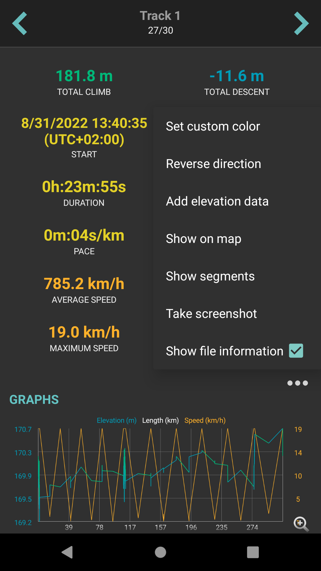
By clicking on the three dots under the statistics, editing menu is displayed with following options:
- Set custom color - option to change the setting of the color. Applied only in the app, not altering the file where the track is saved.
- Reverse direction - removes time and speed data of the track and changes the direction.
- Add elevation data - downloads elevation data for the track from the internet.
- Show on map - switches view to the map and shows where the track/route is located.
- Show segments - shows the segments of the track, their distance from startpoint, length and any other additional information such as elevation or speed.
- Take screenshot - takes a screenshot of current screen.
- Show file information - after checking the checkbox, information about file where track/route is stored are displayed and editable. In case the file information are not shown, track/route is not stored in any file or comes from trackbook.