This is an old revision of the document!
Editing metadata
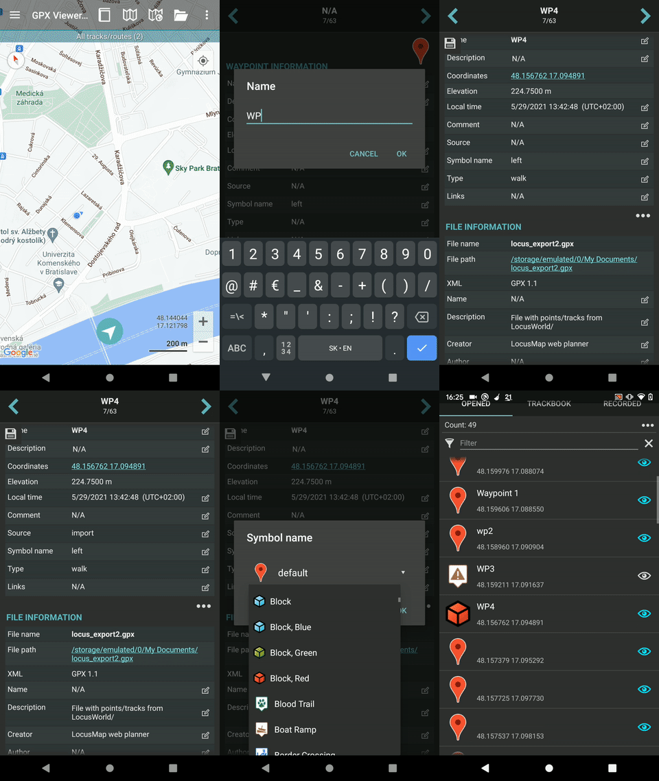
Details about tracks/routes can be displayed by opening Left main menu → Track/route info. Here users can find tracks or routes categorised by their source:
- Opened - from open gpx files stored in your device.
- Trackbook - created in trackbook.
- Recorded - recorded tracks on the device.
Tracks/routes that are recorded or opened can be altered through GPX Viewer Pro. The ones that are imported from trackbook, can be edited only in trackbook. In the list of tracks/routes, users can choose which ones they want to be displayed on the map, by tapping the eye icon. After tapping on the track/route name, more information about the track/route are displayed. For the recorded tracks there is also an option of deleting them, by clicking on a trashbin icon. Track/route metadata include information such as:
- Name of the track/route.
- Description - displayed on the map under the name of the track/route.
- Start of the track/route. Non-editable.
- End of the track/route. Non-editable.
- Points count - the number of recorded points. In recorded tracks within the GPX Viewer Pro the number depends on the profile of recording. Non-editable.
- Segments count - number of segments created in the track/route. Segments can be encoded by pausing the recording and then resuming it once again. Non-editable.
- Track/route - information whether the saved path is track or route. Non-editable.
- Comment - if recorded on the GPX viewer Pro, the profile information and step count is displayed.
- Source - the device on which the track was recorded.
- Number - the number of the track/route.
- Type - users can define track/route type that can later help them categorise exported tracks/routes.
- Links - users can assign any links to the track/route.
By tapping on the editing icon users can edit these information.
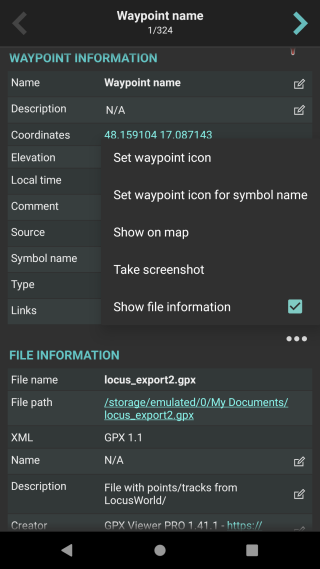
By clicking on the three dots under the statistics, editing menu is displayed with following options:
- Set custom color - option to change the setting of the color. Applied only in the app, not altering the file where the track is saved.
- Reverse direction - removes time and speed data of the track.
- Add elevation data - downloads elevation data for the track from the internet.
- Show on map - switches view to the map and shows where the track/route is located.
- Show segments - shows the segments of the track, their distance from startpoint, length and any other additional information such as elevation or speed.
- Take screenshot - takes a screenshot of current screen.
- Show file information - after checking the checkbox, information about file where track/route is stored are displayed and editable. In case the file information are not shown, track/route is not stored in any file or comes from trackbook.

