WMS maps
WMS maps are basically custom maps with one or more layers that can be configured to be shown. You can add any number of WMS maps into GPX Viewer, you just need their url addresses. For more information about WMS maps what they are and how they work you can refer to this website: https://wiki.openstreetmap.org/wiki/WMS. If you have your own sources of url addresses of WMS maps you can use them or you can use WMS maps from this list. It is also important to note that WMS maps work only when the device is connected to the internet.
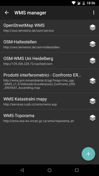
However, GPX Viewer does support only WMS maps which have compatible map projections. Compatible map projections are: epsg:3857, epsg:3785, epsg:3587, epsg:102113, epsg:102100, epsg:900913, openlayers:900913, esri:102113, esri:102100, osgeo:41001 and 54004. Here you can find the tutorial how to add WMS map. The screenshot below is showing WMS maps manager in GPX Viewer with a couple of WMS maps added.
