This is an old revision of the document!
Online map types
Online maps are maps which can be used only when device is connected to internet. However GPX Viewer PRO supports caching of maps. When you show some locations on map when your device is online it will cache that location and when you turn your device offline and restart GPX Viewer PRO and show that locations again they will be loaded from cache. However we don't recommend relying on this feature because system can at any time decide to erase this cached data.
Previews of online maps
Below you can preview online maps which are available in GPX Viewer.
 Apple Maps
Apple Maps support showing standard, satellite and hybrid online maps.
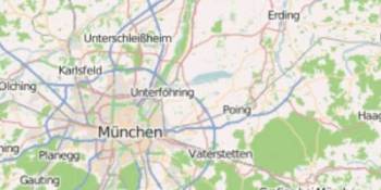 OpenStreetMap
Online map based on OpenStreetMap data using standard OpenStreetMap style.
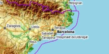 OpenTopoMap
OpenTopoMap is a online map aiming at rendering topographic maps from OpenStreetMap and SRTM data.
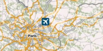 ÖPNVKarte
Worldwide online map highlighting public transport information (busses, trams, trains, stops etc.) based on Openstreetmap data.
 CyclOSM
OpenStreetMap primarily aimed at showing information useful to cyclists.
<!–
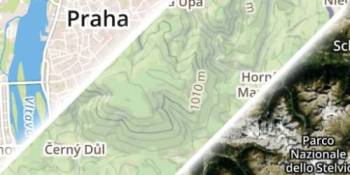 Mapbox
Mapbox has many beautiful online maps based on OpenStreetMap data.
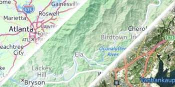 HERE
HERE
Nice online maps with wide variety of types like terrain, satellite, minimalist and city.
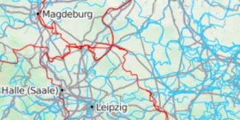 Thunderforest
A wide variety of online maps for terrain, outdoors, transport and most famous OpenCycleMap.
 Maptiler
Online map including winter map based on Openstreetmap data.
–>