Waypoint information
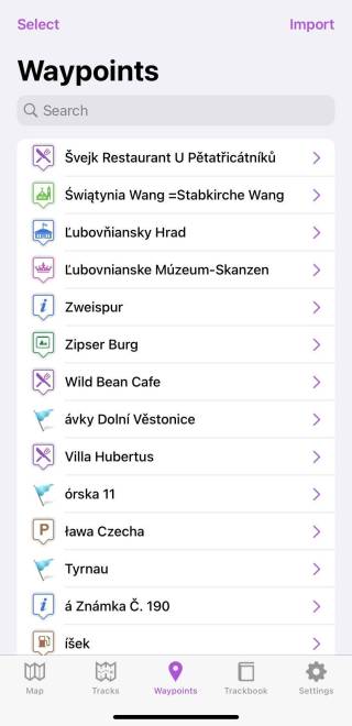
The waypoint tab screen shows imported or added waypoints. You can also find information about importing waypoints on this page this page.
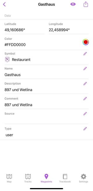
To show waypoint details, tap on the waypoint in the list. Waypoint details contains this information:
- Latitude and Longitude - coordinations of the waypoints that can't be changed.
- Color - the color of the waypoint in hexacode, or also with the possibility to choose from a palette. Color can be changed only for the default symbol.
- Symbol - an icon that should be displayed to represent the waypoint. You have the ability to choose the icon to represent the waypoint.
- Name - name of the waypoint
- Description, often carrying the information on how the waypoint was created
- Comment - comment for the waypoint
- Source - the device on which was the waypoint recorded
- Type - type of data
The eye on the top of the screen disables or enables the appearance of the waypoint on the map tab. Sharing button allows you exporting of the waypoint. More information about exporting can be found on this page.

